Trails at Pico da Ibituruna : Routes for All Levels in Minas Gerais

Explore the trails of Pico da Ibituruna in Governador Valadares. Find routes for beginners and advanced levels, safety tips and the best viewpoints.

People doing the Main Trail

Where it all begins: Parque Natural Governador Valadares

Standing at 1,123 meters tall, Pico da Ibituruna is one of the postcard landmarks of Governador Valadares, in the Rio Doce Valley, Minas Gerais. The mountain draws hikers, bikers, photographers, and free-flight pilots from across Brazil — and it’s easy to see why: few places in the country combine such a variety of trails with views this striking over the Rio Doce and the surrounding region.

If you’re planning to climb Ibituruna, this guide brings together the main available routes, their difficulty levels, and what to expect from each one. Most trails start at Parque Natural Governador Valadares, a protected area covering 400,000 square meters that preserves remnants of Atlantic Forest. Besides serving as the gateway to the peak, the park has its own ecological trails, ideal for those who want a calmer walk through nature before — or instead of — tackling the main climb.

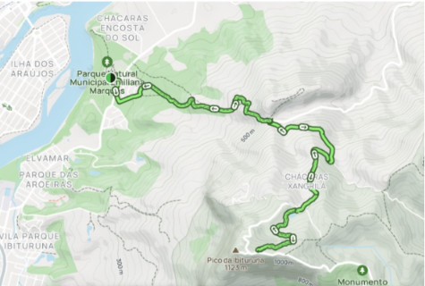
Main Trail (Trekking Route)

This is the classic route for anyone aiming to reach Ibituruna’s summit.

  • Distance: approximately 7.5 km
  • Duration: 3 to 4 hours of hiking
  • Elevation gain: about 1,036 m
  • Difficulty: moderate to hard

The path is well marked, which helps a lot, but the steady climb demands good physical conditioning and proper hiking shoes. This isn’t a trail to improvise with regular sneakers or no training — the elevation gain is significant and makes itself felt, especially on the final stretches before the summit.

Map of the Main Trail

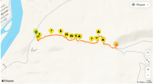
Trilha da Santa (Saint’s Trail)

One of the mountain’s most traditional and symbolic routes, Trilha da Santa leads to the statue of the Saint installed at the top of Ibituruna, making it one of the most sought-after hikes for visitors to Governador Valadares.

  • Distance: ~7.5 km (ascent only)
  • Average duration: 3 hours of steady walking
  • Difficulty: moderate to hard, due to the incline

Along the way, hikers are rewarded with panoramic views of the Rio Doce, the chance to get a close look at the free-flight launch ramp, and, for those who time the climb right, a memorable sunset at the top. It’s a demanding trail, but the scenery along the way makes every climb worth it.

Map of the Saint´s Trail

Rampa Voo Livre (Free-Flight Ramp Trail)

For those who want a stunning view without committing to the main summit, the Rampa Voo Livre route is a great alternative.

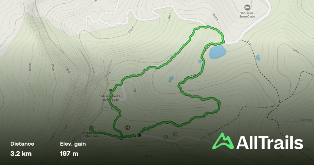
  • Elevation gain: approximately 197 m
  • Route: a loop that starts at the top of the ramp and continues along dirt roads
  • Difficulty: medium

This trail has a particular charm: along the way, hikers can spot lakes and spectacular landscapes, making the walk lighter on effort while still rich in great views.

It’s worth remembering that the ramp isn’t just a viewpoint — Governador Valadares is known as Brazil’s free-flight capital, and the Ibituruna ramp is considered one of the best spots in the world for hang gliding and paragliding. Even if you’re not flying, watching the pilots take off is, on its own, a must-see attraction for any visitor.

Map of the Free-Flight Ramp Trail

Which trail should you choose?

Trail

Distance

Difficulty

Best for

Main Trail (Trekking)

~7.5 km

Moderate to hard

Those seeking the full challenge to the summit

Trilha da Santa

~7.5 km

Moderate to hard

Those who want history, views, and sunset

Rampa Voo Livre

Short (197 m gain)

Medium

Those who want great views with less effort

Safety tips for the climb

  • Wear proper hiking shoes with good grip.
  • Bring plenty of water — the effort is intense, especially on the steeper stretches.
  • Start the climb with enough time to descend before dark, unless the plan is specifically to catch the sunset at the top.
  • Assess your fitness level before choosing the Main Trail or Trilha da Santa — both require preparation.
  • Keep an eye on the weather forecast, since fog and rain can make the route more dangerous.

Is it worth the climb?

Between the richness of the Atlantic Forest in the Parque Natural, the significance of Trilha da Santa, the thrill of watching paragliders take off from the ramp, and the view of the Rio Doce from above, Pico da Ibituruna offers experiences for different types of visitors — from the seasoned hiker looking for a challenge to the tourist who just wants a great spot to watch the late afternoon sky.

Whichever trail you choose, one thing is certain: the view from the top of Ibituruna is among the most beautiful in Minas Gerais.

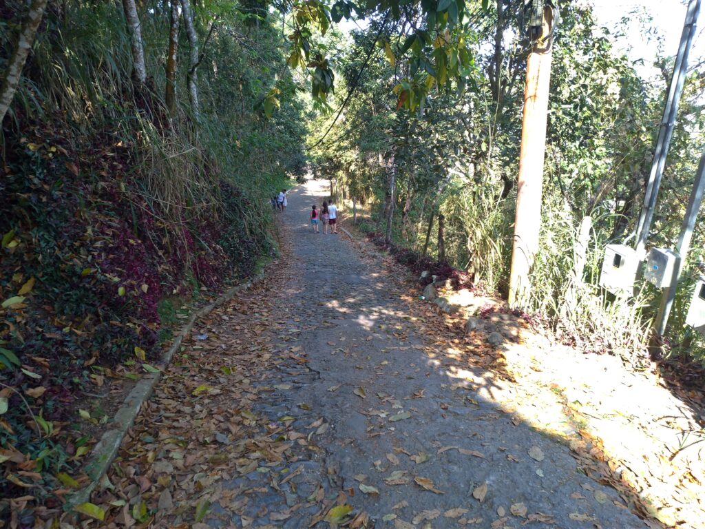
Images of the Main Trail